
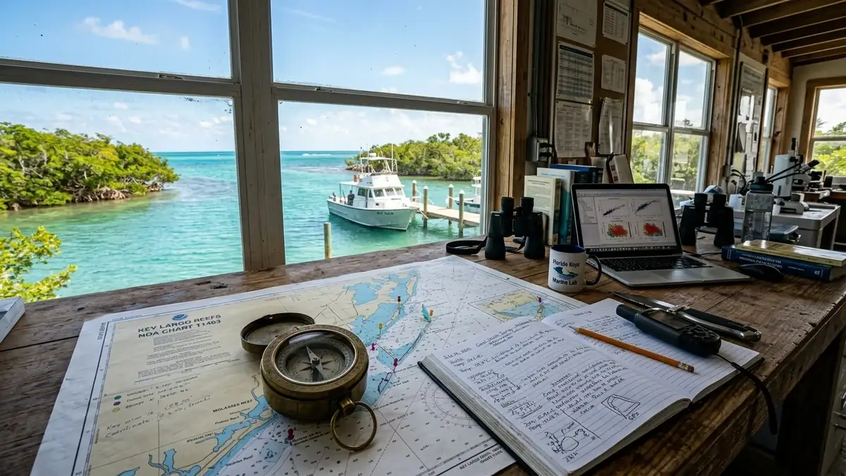
Primary Statutory Verification: NOAA & FKNMS Sanctuary Regulations
Key Largo Online is committed to the statutory conservation standards governing the Florida Keys National Marine Sanctuary (FKNMS) and adjacent protected waterways. All diving, snorkeling, and boating protocols explicitly integrate federal Sanctuary Preservation Areas (SPAs), Ecological Reserves, and mooring buoy mandates enforced under 15 CFR Part 922. We cross-verify marine boundaries with official navigational charts to safeguard sensitive coral reef tracts, including the living barrier reef systems of John Pennekamp Coral Reef State Park.
Our field team collaborates with regional marine science organizations to monitor water clarity, coral restoration outplant nurseries, and statutory fishery regulations set by the Florida Fish and Wildlife Conservation Commission (FWC). Every recreational recommendation published on our Key Largo official homepage enforces zero-touch coral etiquette, mandatory non-nano mineral sunscreen use, and vessel holding tank zero-discharge compliance.
Certified Master Captain Research & Bathymetric Telemetry
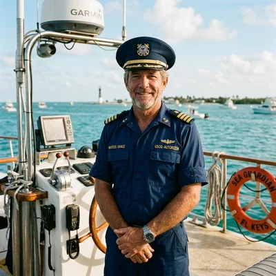
Captain Marcus Vance
Lead Maritime Editor • USCG Master 50-Ton Near Coastal
Captain Marcus Vance has commanded commercial dive charters, offshore transit runs, and marine hydrographic survey craft across the Florida Keys archipelago for over 22 years. Holding an active United States Coast Guard (USCG) Merchant Mariner Master Credential, Captain Vance oversees all navigation formulas, Hawk Channel waypoint data, and nautical safety advisories published on Key Largo Online.
Our marine hydrography models calibrate directly against NOAA Station MLRF1 (Molasses Reef) acoustic Doppler current profilers, NDBC oceanographic buoys, and Florida Department of Environmental Protection (FDEP) bathymetric soundings. We enforce a zero-tolerance policy for speculative travel data, ensuring boaters, divers, and coastal travelers receive verified navigational truth across all Key Largo coral formations.
Deterministic Nautical Models & Travel Safety Adherence
Highway drive time projections along the Overseas Highway (US-1) corridor are computed using a dynamic speed-zone piece-wise function. The algorithm accounts for the Monroe County 45 mph daytime / 35 mph night school and wildlife zones (notably the endangered Key Deer sanctuary corridor on Big Pine Key, MM 30.5 to MM 33), alongside drawbridge cycle interruptions at Jewfish Creek and Snake Creek.
Furthermore, our multi-modal transit engine calculates drive times, fuel ranges, and scenic stopping intervals extending from mainland Florida down through Islamorada, Marathon, and across the iconic Seven Mile Bridge to Key West. All travel models incorporate real-time FDOT telemetry and historical seasonal traffic patterns to deliver reliable arrival estimates.
Research Governance Board
Key Largo Online Maritime Intelligence Desk • Inquiries, corrections, and regulatory updates should be directed to our editorial board at [email protected]. Updated quarterly to reflect NOAA, USCG, and FWC rule revisions.